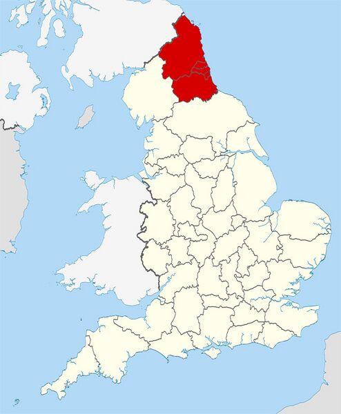
File:Durham and Northumberland map.jpg

Size of this preview: 494 × 600 pixels. Other resolution: 659 × 800 pixels.
Original file (659 × 800 pixels, file size: 111 KB, MIME type: image/jpeg)
DON'T HOTLINK THIS IMAGE
If this image has licensing that allows appropriate third party use, you may copy the image and host it on your server.
Hotlinking is NOT permitted. Google it if you are that dumb!
Our firewall will block attempts at hotlinking - you have been warned.
Summary
An amended version of http://en.wikipedia.org/wiki/File:County_Durham_UK_locator_map_2010.svg
Licensing
| This file has been released into the Public Domain (Wikimedia Commons) |
File history
Click on a date/time to view the file as it appeared at that time.
| Date/Time | Thumbnail | Dimensions | User | Comment | |
|---|---|---|---|---|---|
| current | 16:00, 11 January 2013 | | 659 × 800 (111 KB) | Chef (talk | contribs) | An amended version of http://en.wikipedia.org/wiki/File:County_Durham_UK_locator_map_2010.svg |
You cannot overwrite this file.
File usage
The following 2 pages use this file: